Solution
Satellite Remote Sensing
Discover Vision Elite
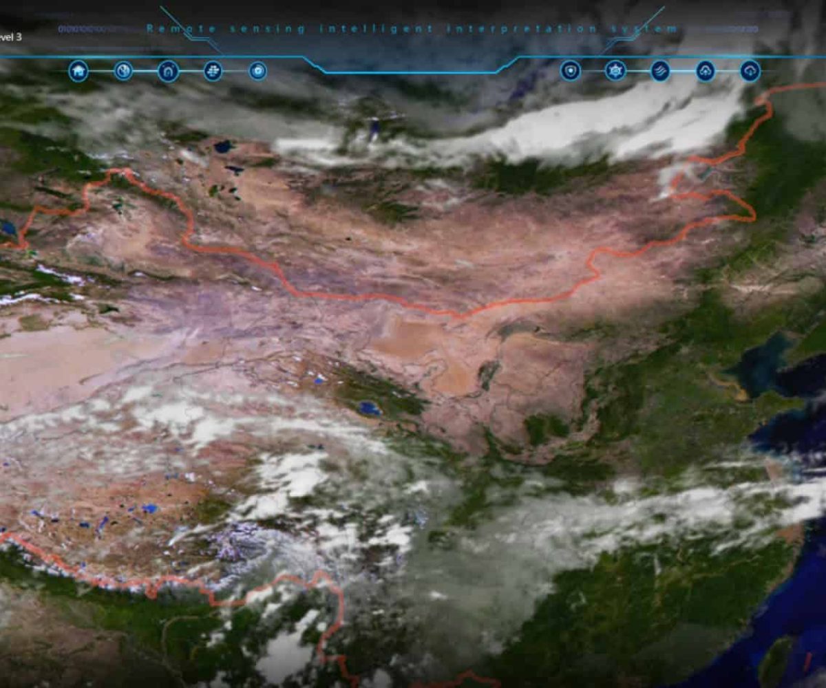
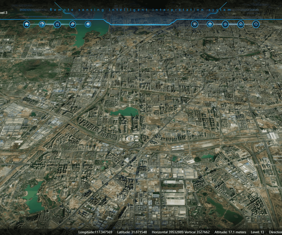
At Vision Elite, we harness the power of satellite remote sensing to provide you with high-resolution imagery and advanced data analytics. With an impressive 2-meter resolution, our satellite monitoring system delivers unmatched clarity and accuracy for disaster management, defense, environmental monitoring, and urban planning. Vision Elite ensures that you get the precision, speed, and reliability needed for critical decision-making.
How Vision Elite Works
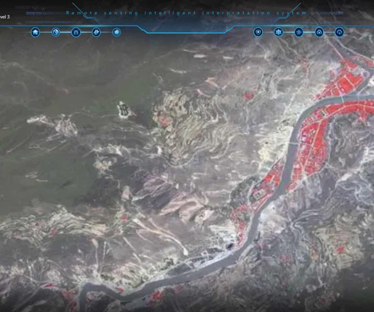
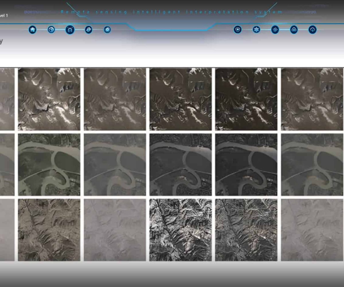
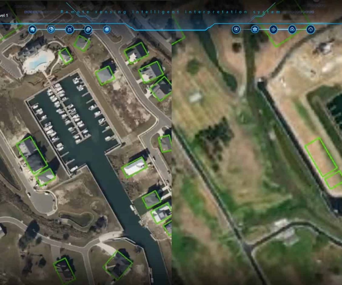
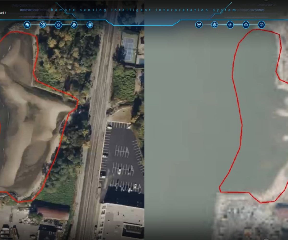
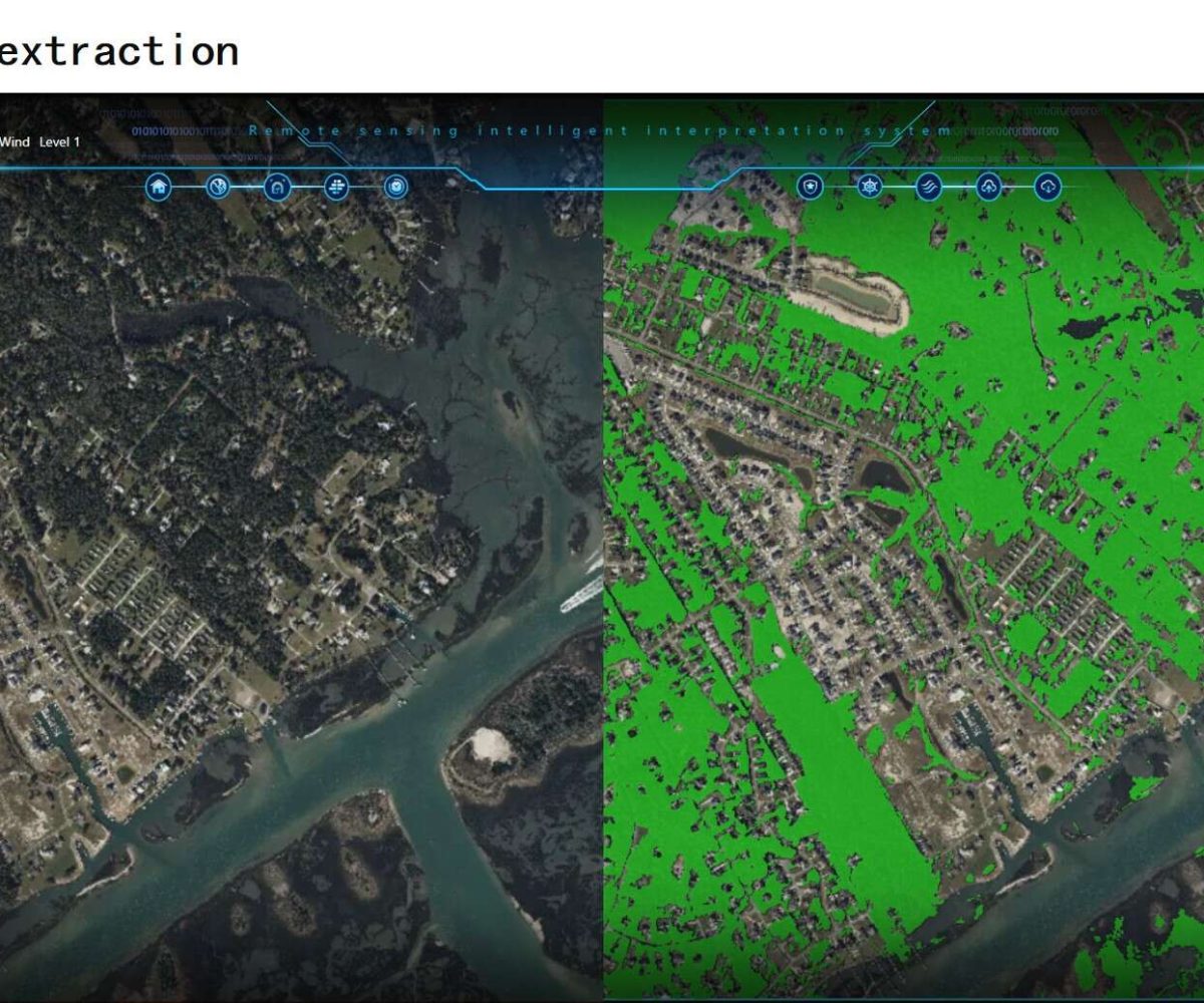
Our cutting-edge technology utilizes high-resolution sensors mounted on satellites to capture and analyze data from the Earth’s surface. The 2-meter resolution imaging provides sharp, detailed visuals, allowing organizations to detect changes, monitor landscapes, and respond to challenges with confidence. AI-driven analytics process this data to generate high-quality images, maps, and actionable insights
Key Features of Vision Elite:
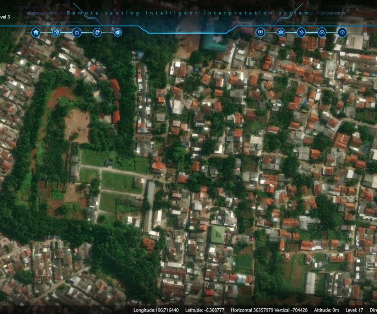
2-Meter High-Resolution Satellite Imaging
Superior imaging
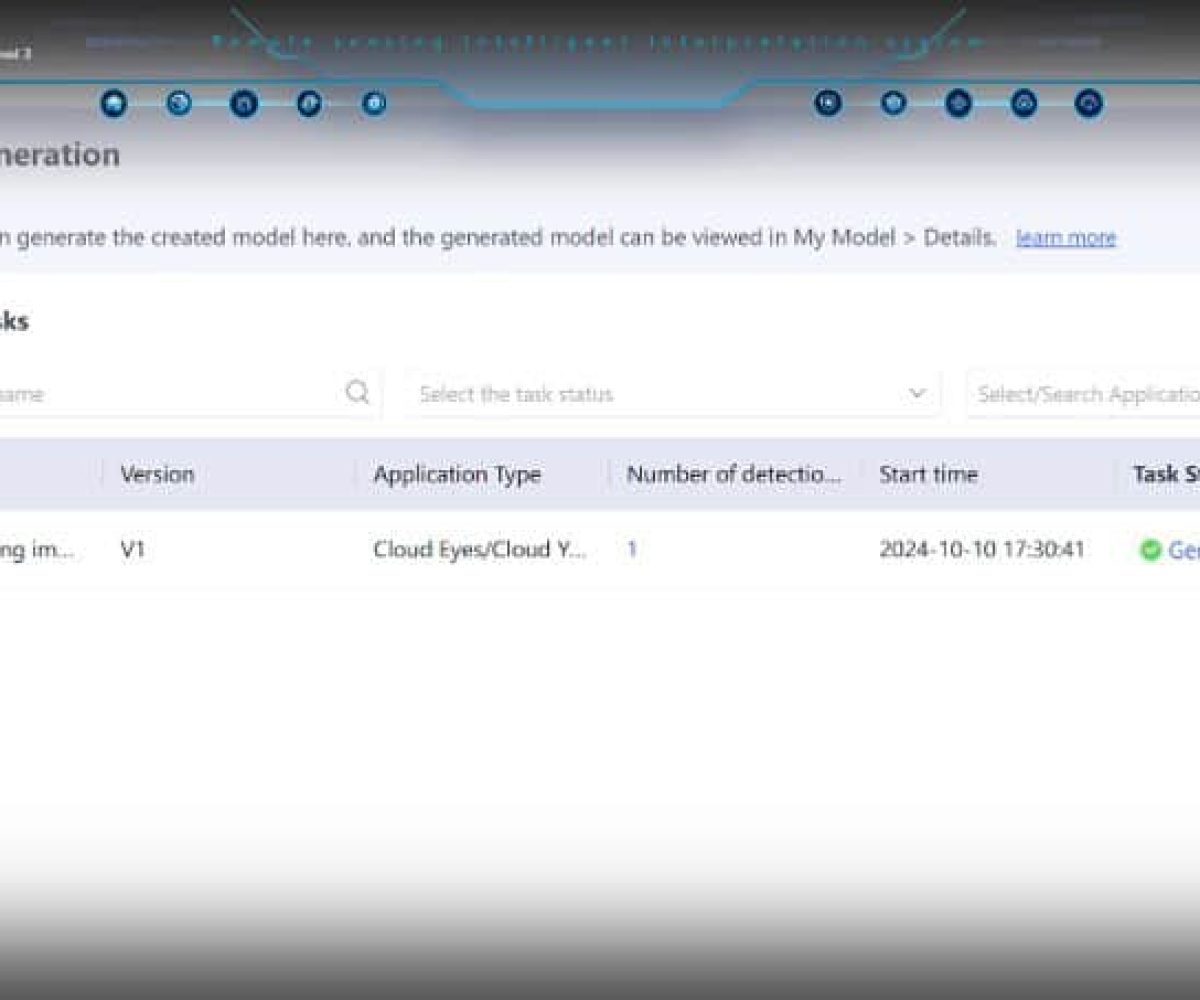
AI-Powered Data Processing
Global Coverage
Real-World Applications
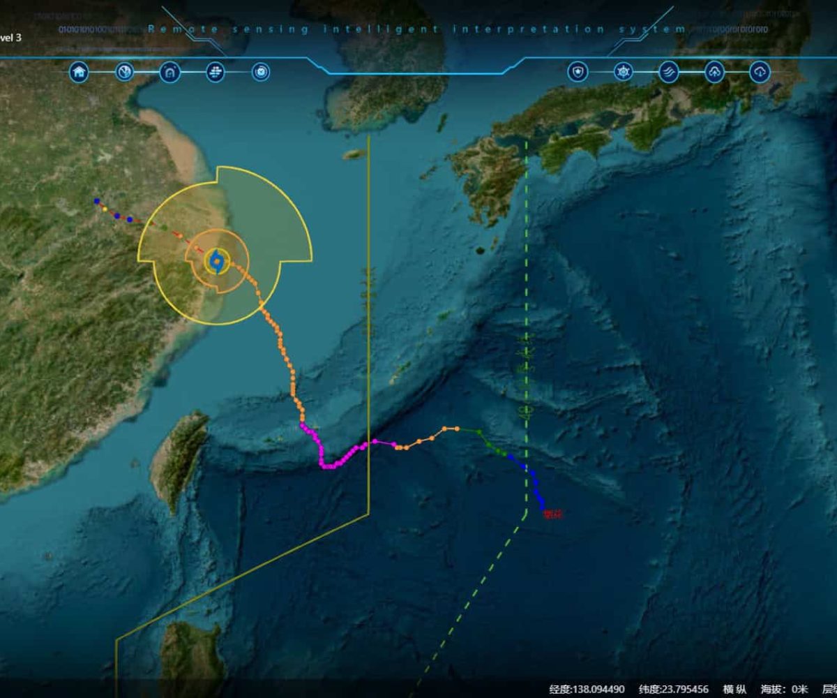
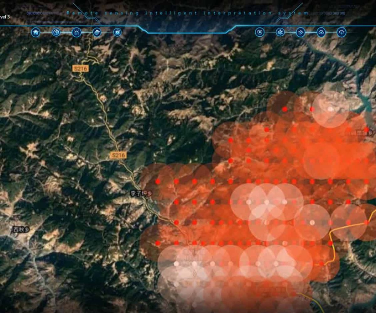
Disaster Management
- Early warning and real-time tracking of natural disasters like floods, earthquakes, and wildfires.
- High-resolution damage assessment for efficient emergency response and recovery.
Defense & Security
- Advanced satellite surveillance for border security and intelligence operations.
- Maritime and land-based threat detection using 2-meter resolution imagery.
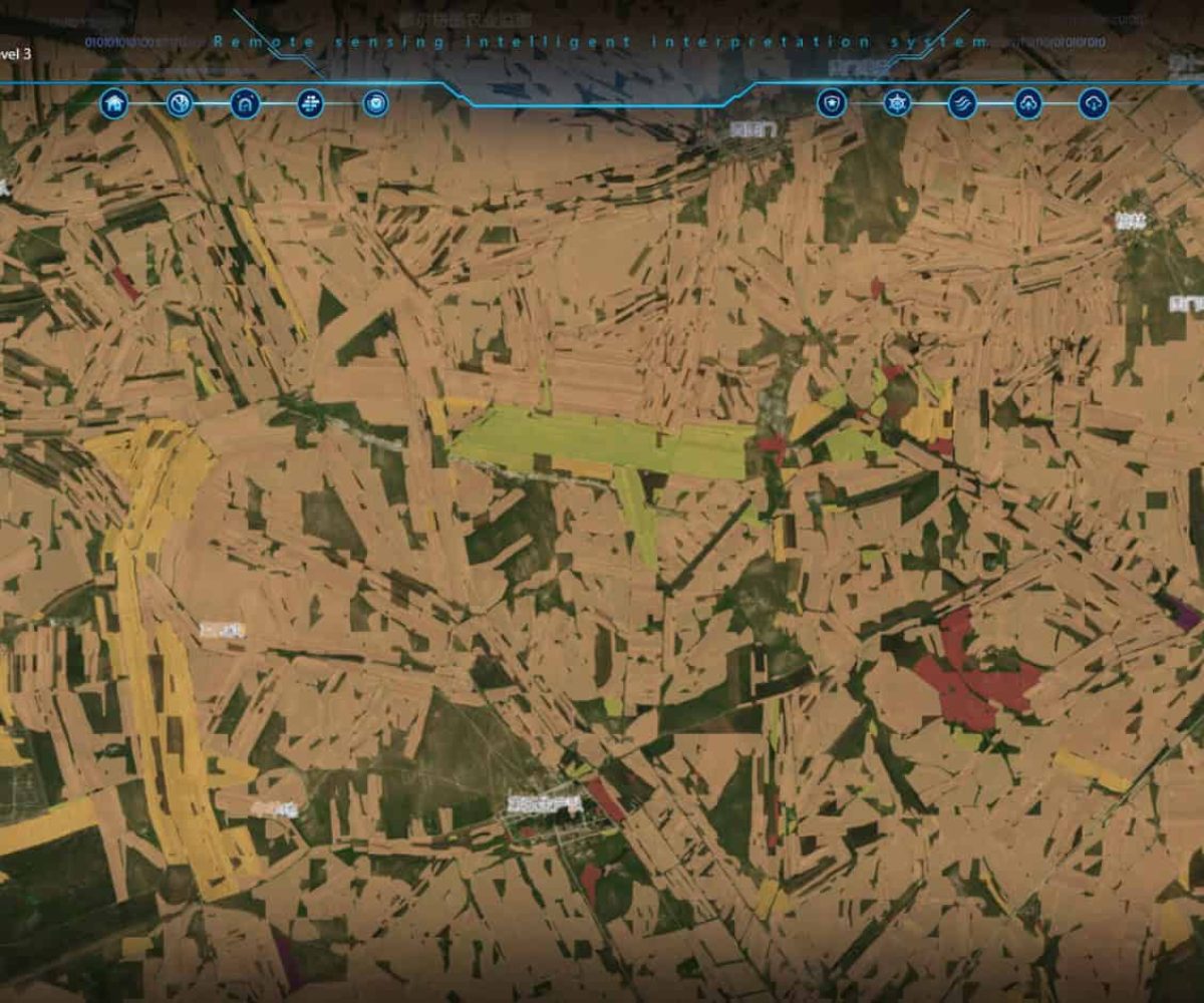
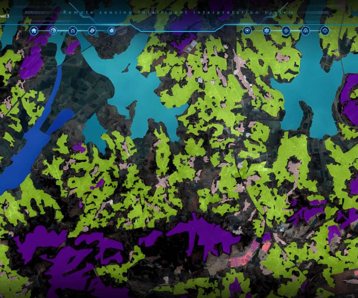
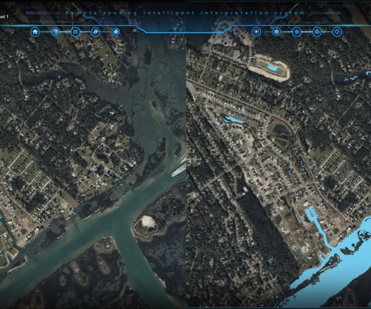
Environmental Protection
- Monitoring deforestation, pollution, and climate change impact with high-clarity imaging.
- Sustainable resource management for governments and organizations.
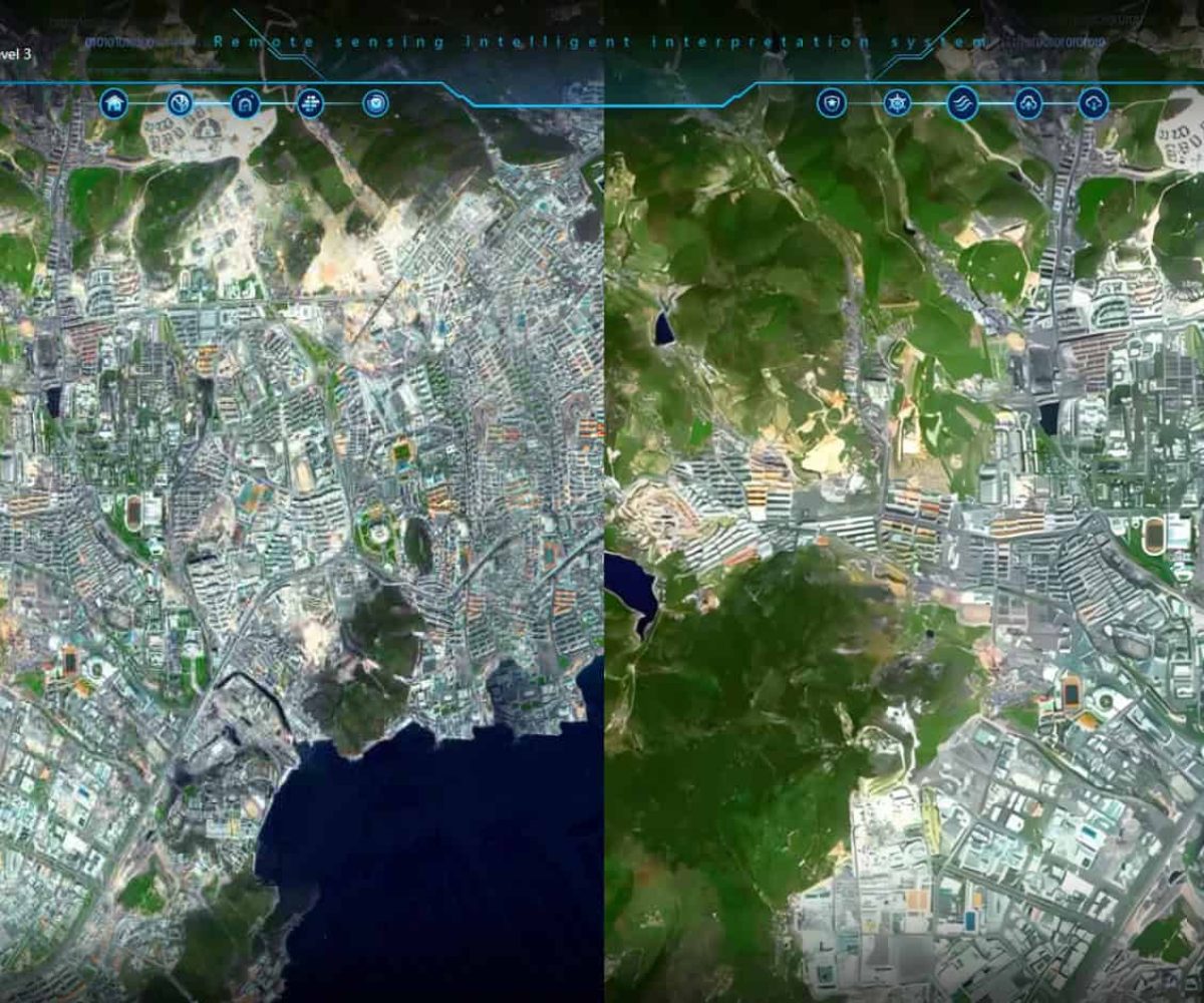
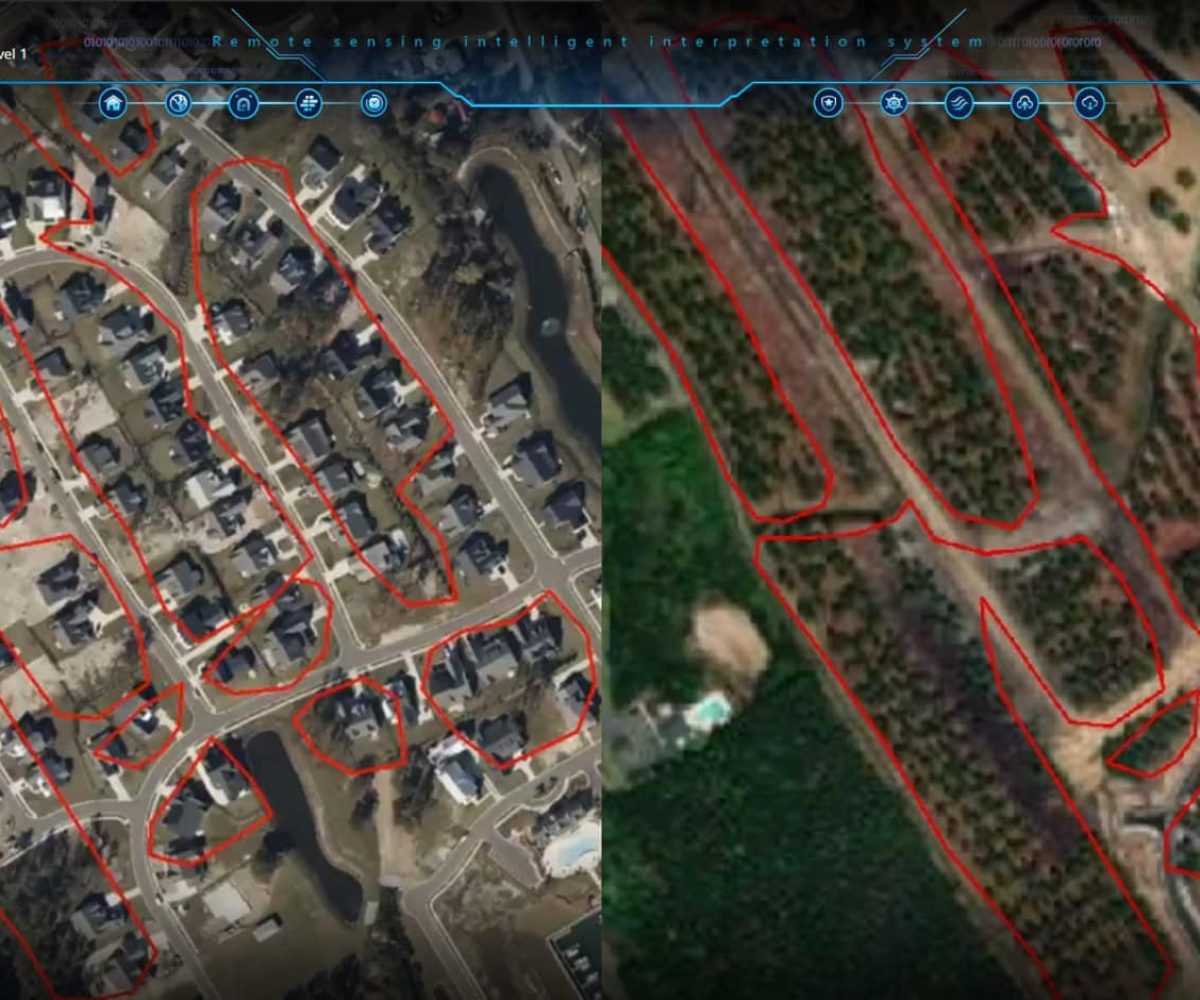
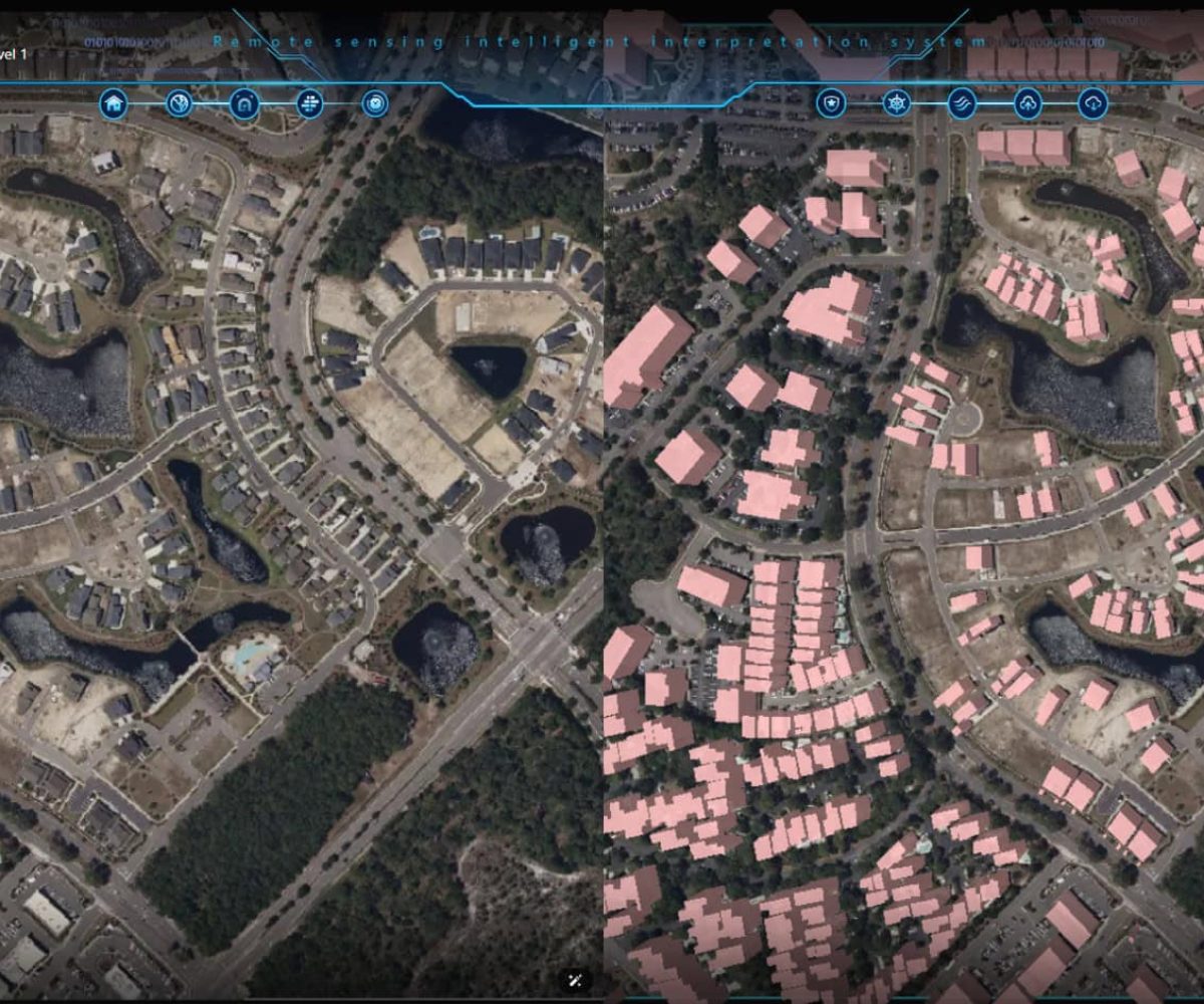
Smart Urban Planning
- Infrastructure monitoring and smart city development with detailed satellite mapping.
- Traffic analysis and land-use optimization for better city management.
Why Choose Vision Elite?
Our high-end satellite remote sensing solutions give you the competitive edge with:
2-Meter Resolution Imaging
Real-Time Data & Insights
AI-Powered Intelligence
Multi-Sensor Technology
Global Reach & Secure Data
Experience the Vision Elite Advantage
Unrivaled Precision
Cutting-Edge Technology
Industry Expertise
Custom-Tailored Solutions
Remote SensingImages