Remote Sensing Application
Satellite Remote Sensing Applications – Transforming Data into Action
1. Disaster Management Saving Lives Through Real-Time Intelligence
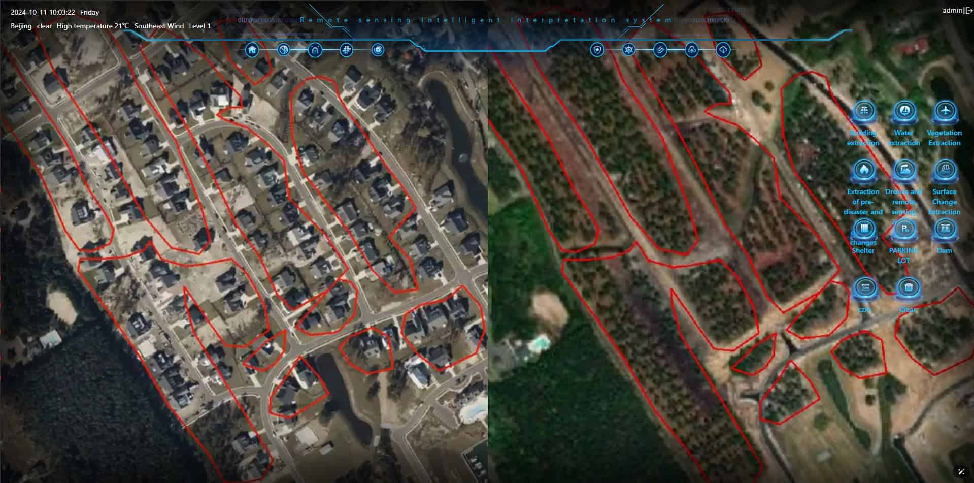
Natural disasters strike without warning, but preparedness can save lives. Satellite Remote Sensing provides critical early warning, impact assessment, and post-disaster recovery insights to aid governments, emergency responders, and humanitarian agencies in mitigating disaster risks.
Early Detection & Forecasting
Monitor earthquakes, hurricanes, floods, and wildfires before they escalate.
Real - Time Response
Deliver live updates on disaster-hit areas for fast and efficient rescue missions.
Post-Disaster Recovery
Guide rebuilding efforts with precise damage assessment and geospatial data.
By harnessing space-based intelligence, we empower nations to respond faster, recover stronger, and build disaster-resilient communities.
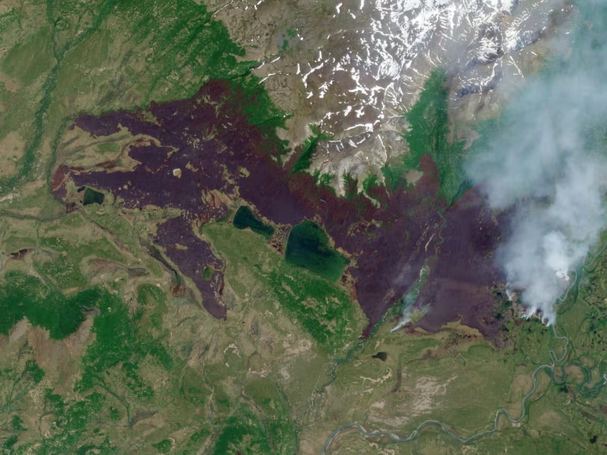
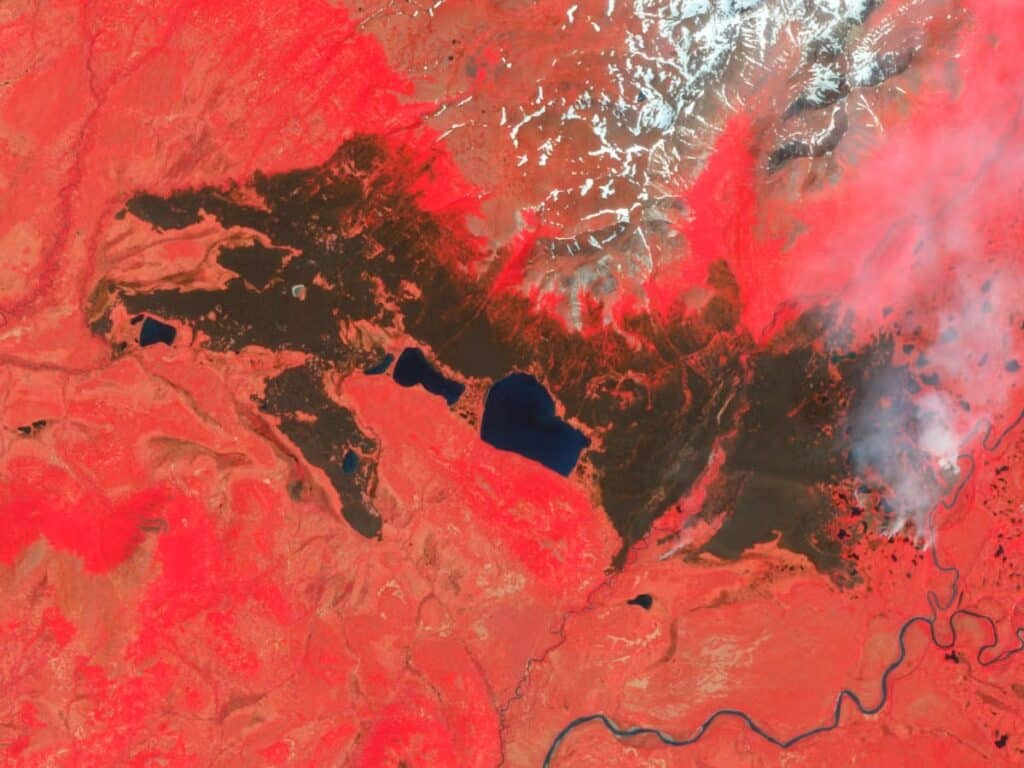
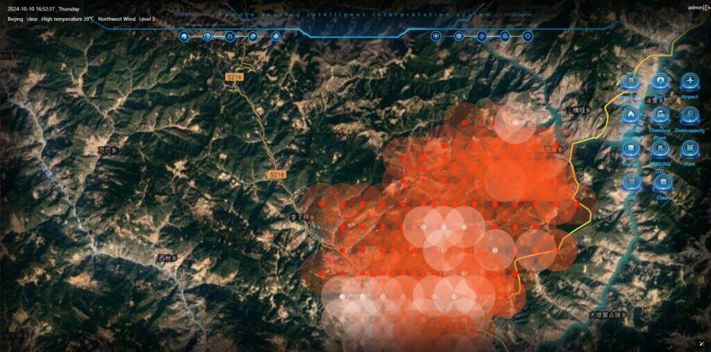
Forest Fire Image
2. Defense & Security Strengthening National Security from Space
In an unpredictable world, real-time intelligence is crucial for defense and security. Satellite Remote Sensing enhances border surveillance, military reconnaissance, and strategic intelligence, ensuring nations stay ahead of emerging threats.
Border & Maritime Monitoring
Detect unauthorized crossings, illegal fishing, and smuggling activities in real time.
Tactical Military Intelligence
Support defense operations with high-resolution satellite imaging and geospatial analysis.
Counterterrorism & Threat Detection
Identify and neutralize threats before they escalate.
With unparalleled global surveillance and strategic insights, we help safeguard nations and maintain security in an evolving geopolitical landscape.

Military Intelligence Analysis
3. Environmental Protection Monitoring Our Planet from Above
A sustainable future begins with knowledge. Satellite Remote Sensing provides vital insights into climate change, deforestation, pollution, and natural resource management, enabling proactive environmental protection.
Climate Change Analysis
Track global warming, ice cap melting, and shifting weather patterns.
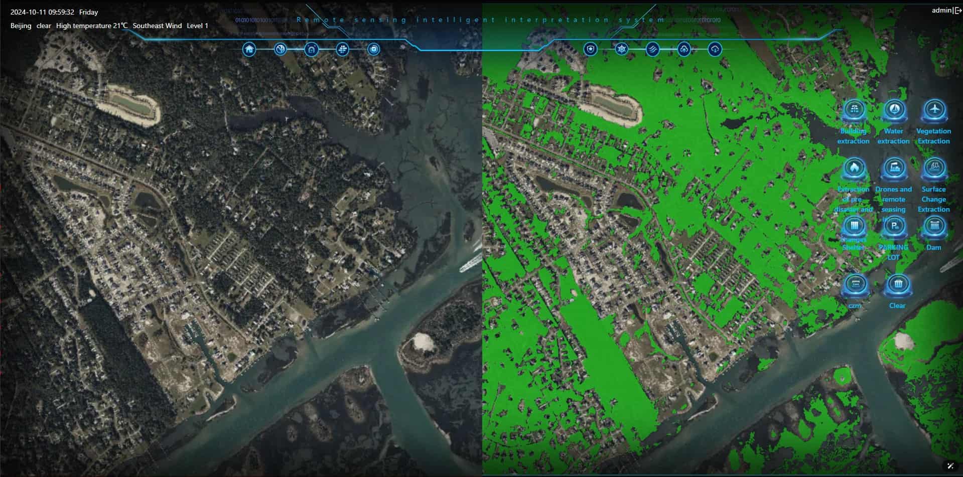
Deforestation & Wildlife Conservation
Combat illegal logging and protect endangered ecosystems.
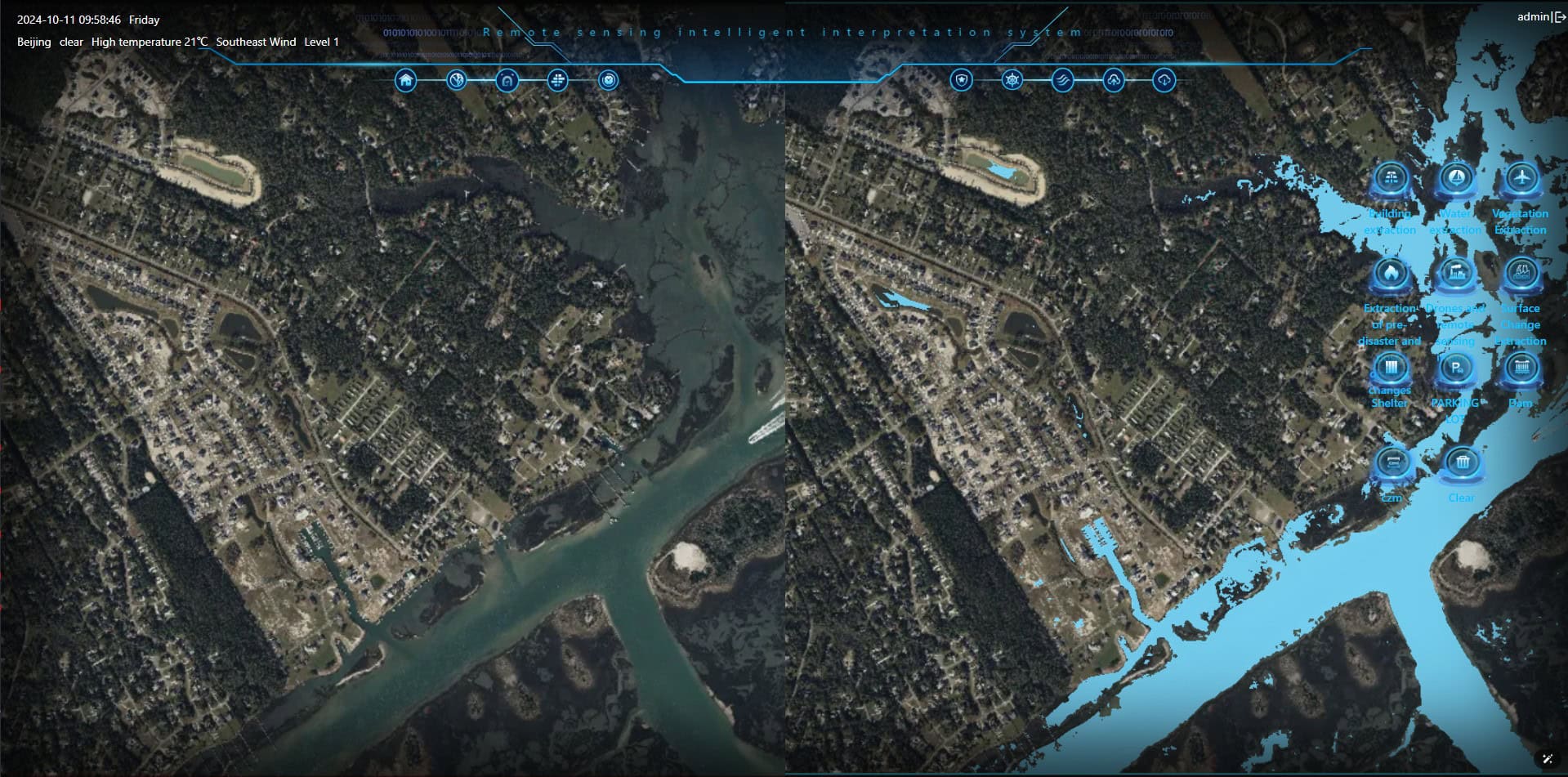
Air & Water Quality Monitoring
Detect pollution levels to ensure environmental compliance.
By turning data into action, we support global efforts to preserve nature, fight climate change, and protect biodiversity for future generations.
4. Smart Urban Planning Building Future Cities with Smart Insights
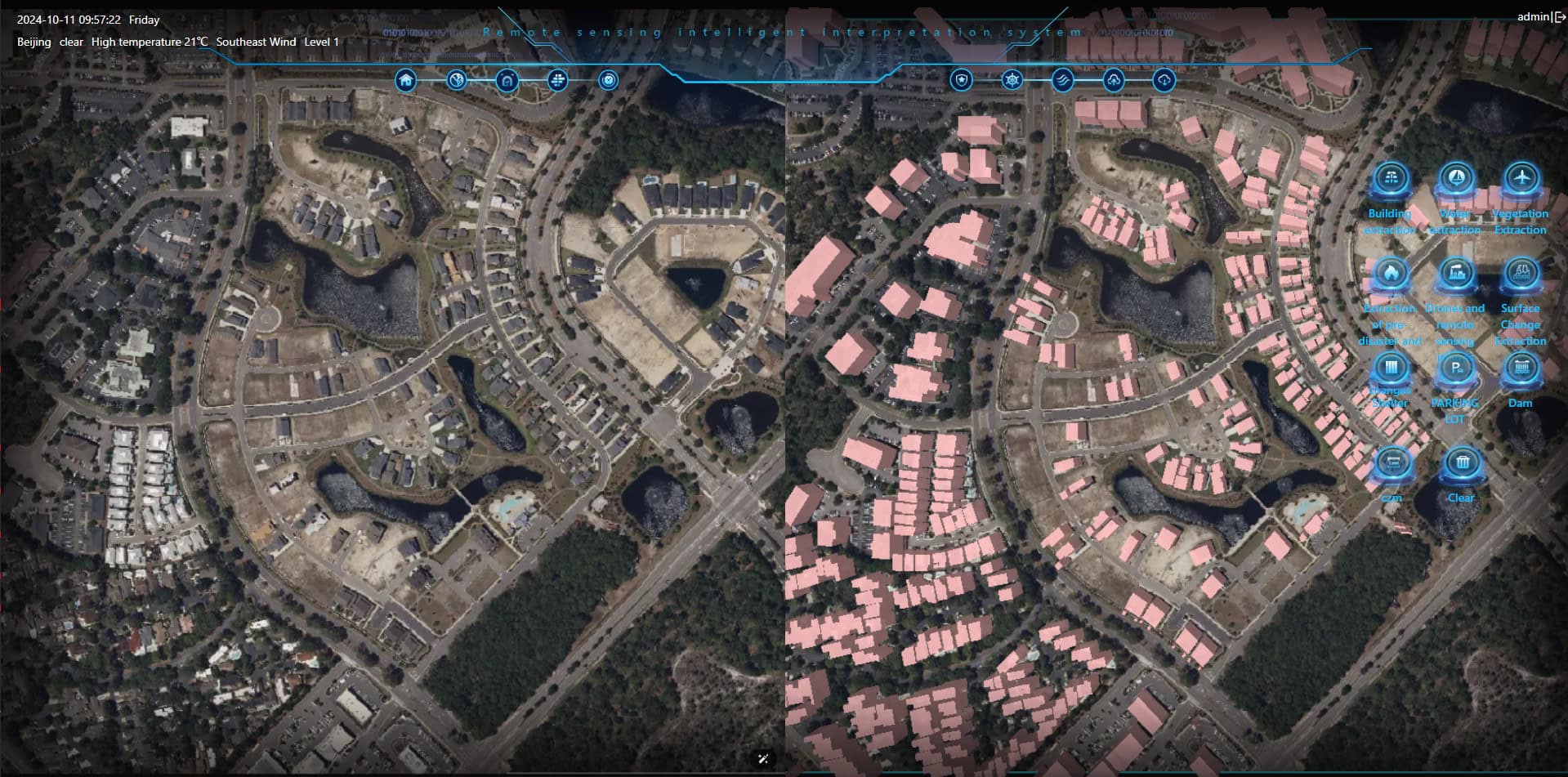
As urban populations rise, cities must evolve intelligently. Satellite Remote Sensing provides precision data for infrastructure development, traffic management, and green city initiatives, paving the way for sustainable urban growth.
Urban Expansion & Land Use Planning
Optimize city layouts for balanced development.
Traffic & Transportation Analytics
Reduce congestion with satellite-driven insights.
Disaster-Resilient Infrastructure
Design safer cities with risk-mapping and hazard prediction.
By integrating space technology into urban planning, we help create smarter, more efficient, and eco-friendly cities for tomorrow.
