Unlock Global Connectivity and Intelligence with STARINS
Pioneering the Future of Satellite Applications to Connect the Unconnected and Empower Industries Worldwide. From IoT to Remote Sensing, Discover Reliable, Efficient, and Cost-Effective Solutions.
Our Solution
Satellite Remote Sensing
Satellite IoT
Remote Sensing Comparison
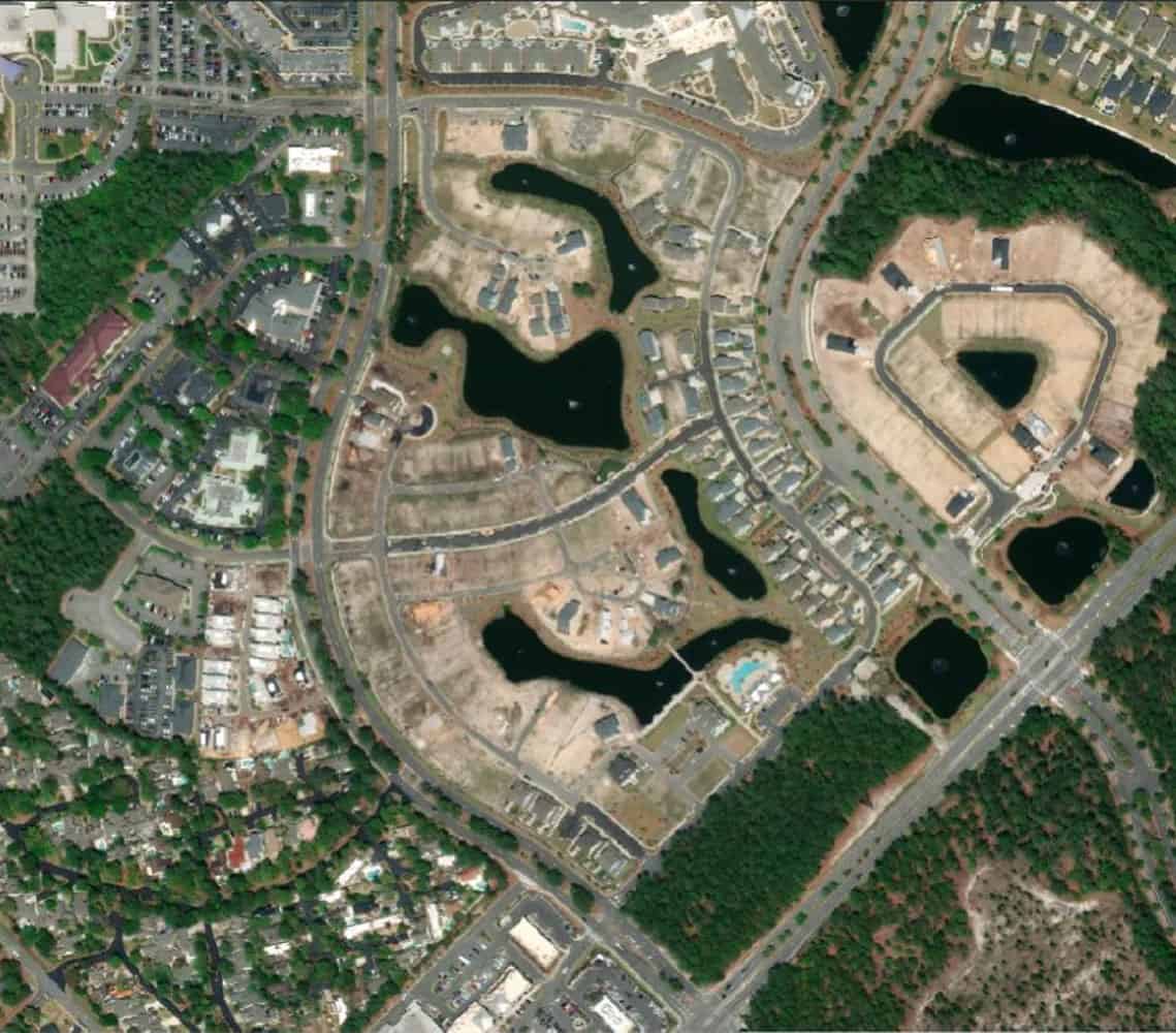
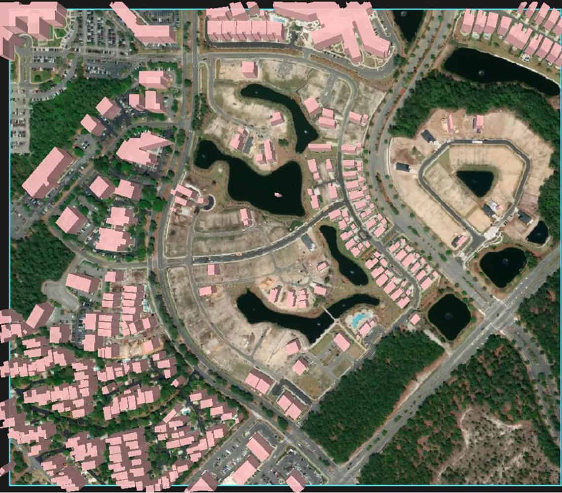
Satellite Imagery : Building Extraction
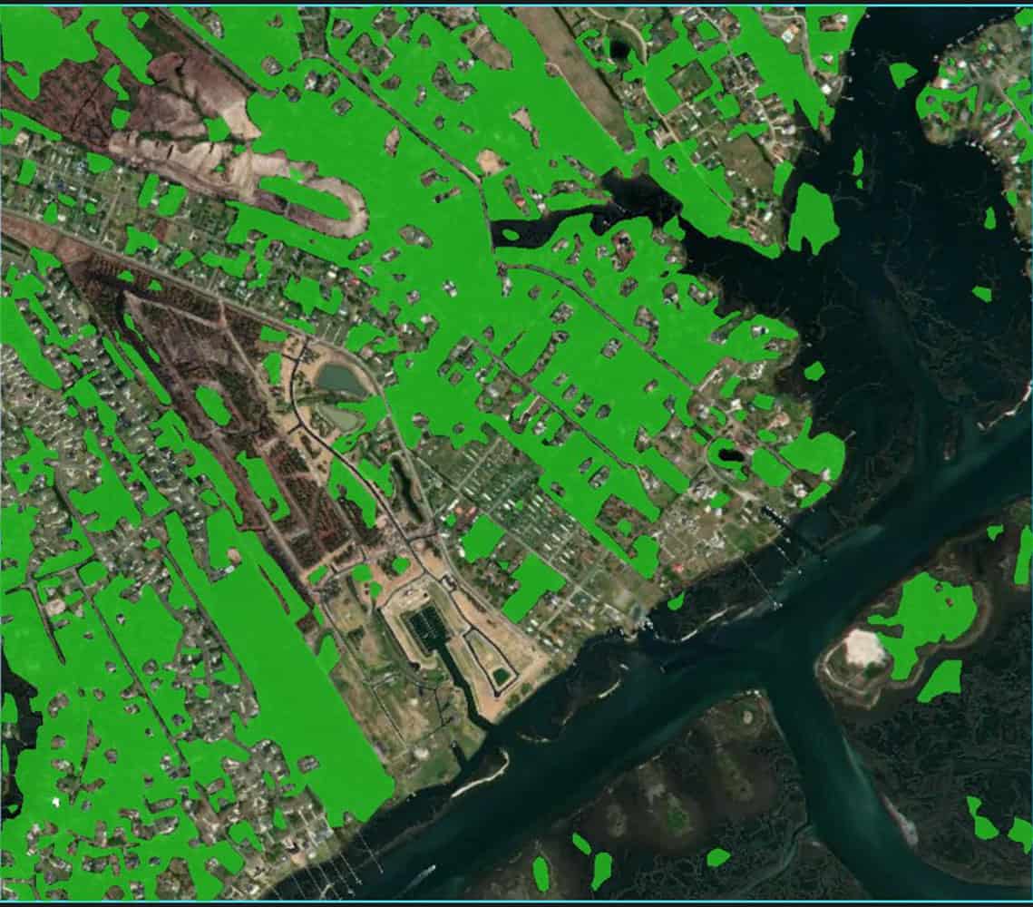
Satellite Imagery : Vegetation Extraction (Forest)
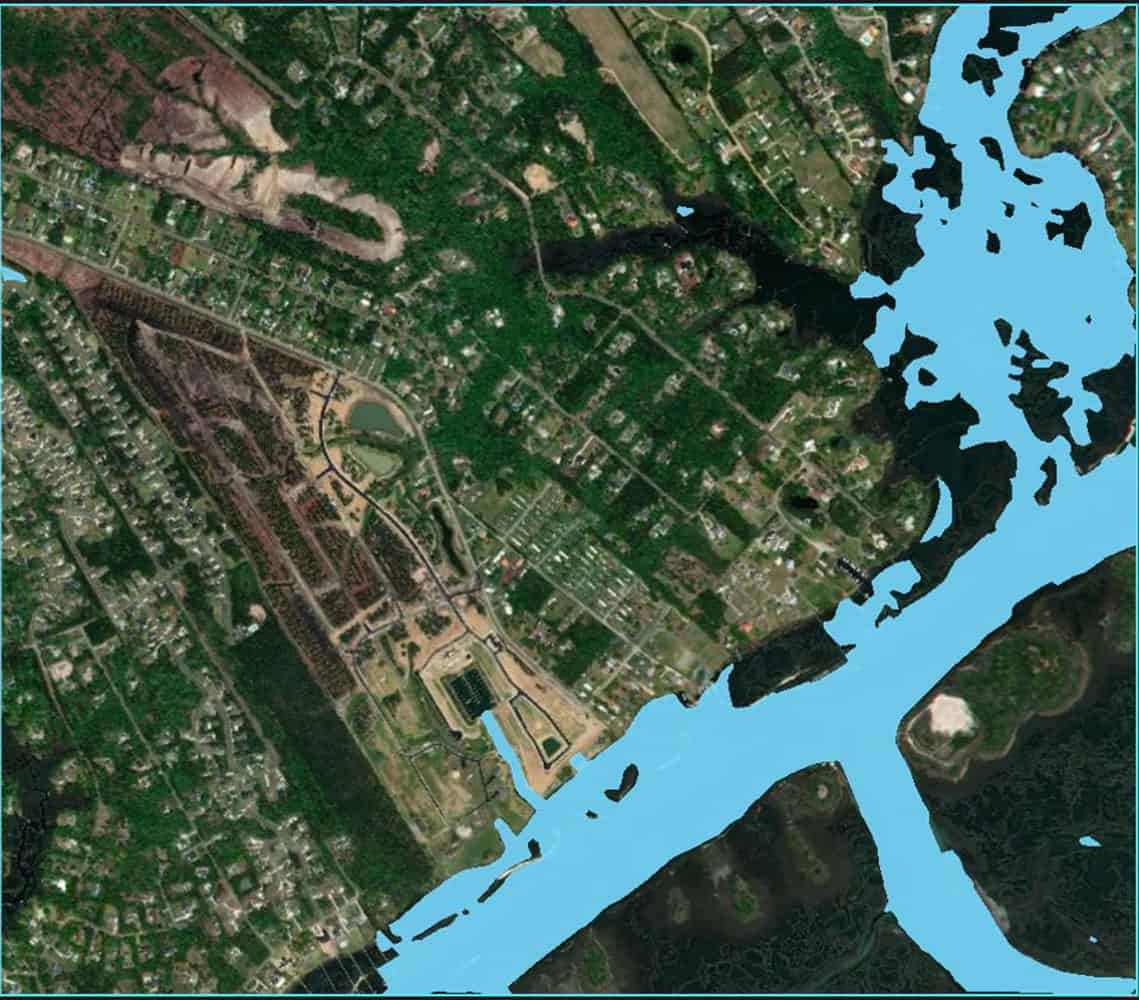
Satellite Imagery : Water Body Extraction
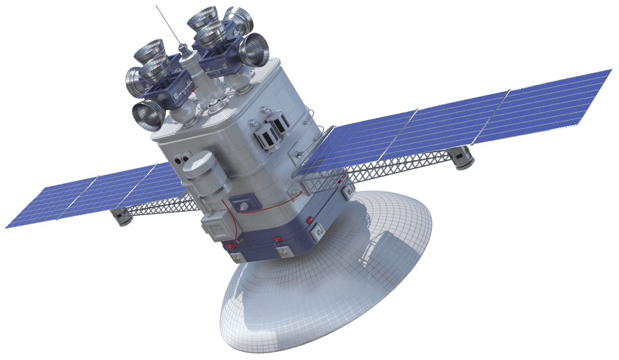
Product Introduction LEOA Constellation & Product Series
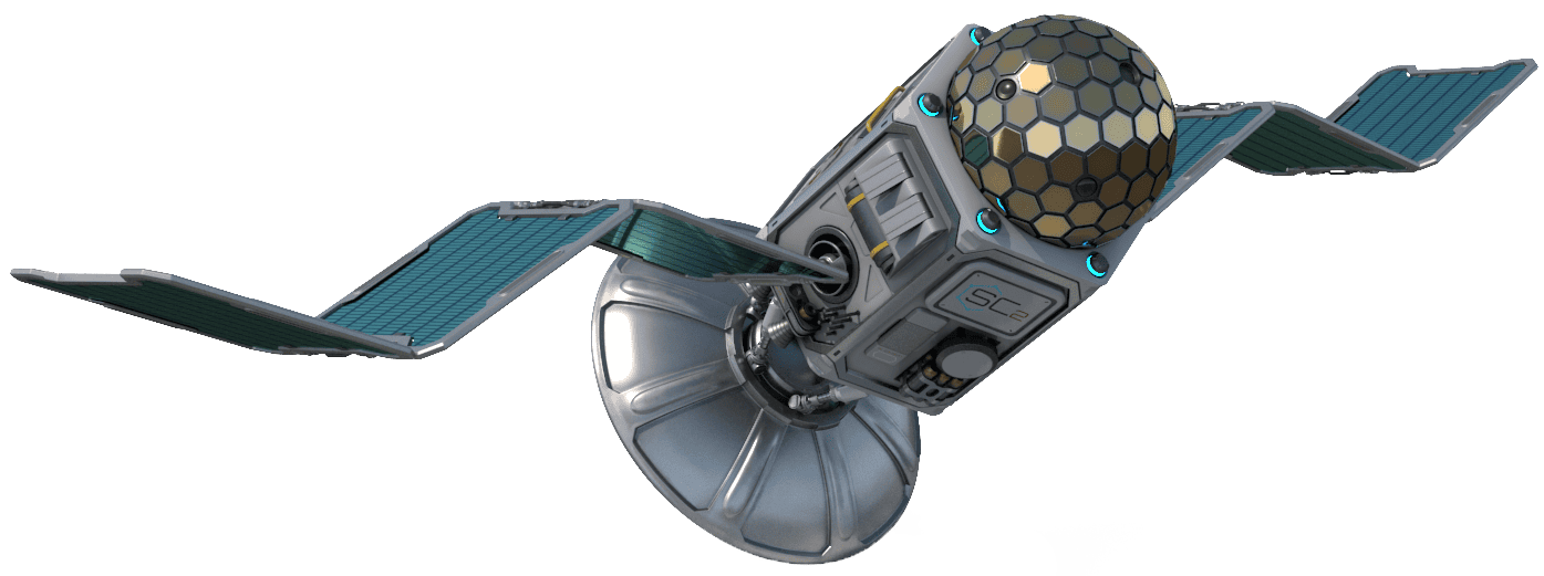
IOT Satellite
STARINS' Low Earth Orbit Alliance (LEOA) constellation delivers reliable connectivity anywhere on Earth, featuring superior anti-interference capabilities, ultra-low power consumption, and flexible data speeds to support remote monitoring, asset tracking, and emergency communications even in the most isolated regions.
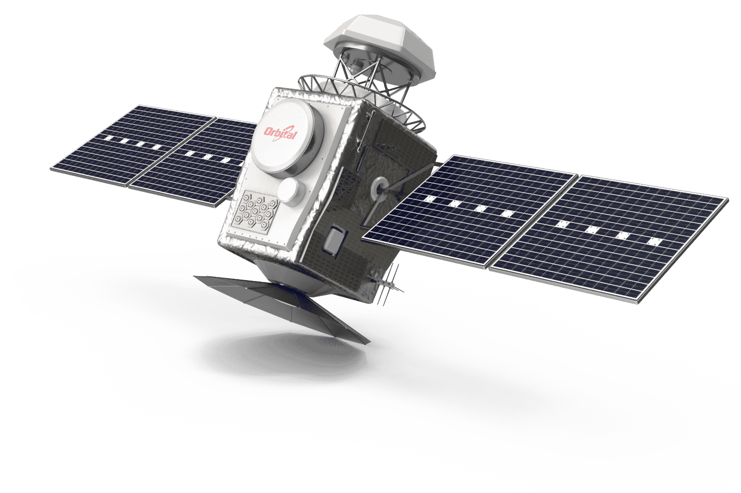
Remote Sensing
Our comprehensive Earth observation platform captures high-resolution data for environmental monitoring, resource management, and disaster prevention, transforming complex satellite imagery into clear, actionable intelligence that helps organizations make better decisions and respond more effectively to changing conditions.